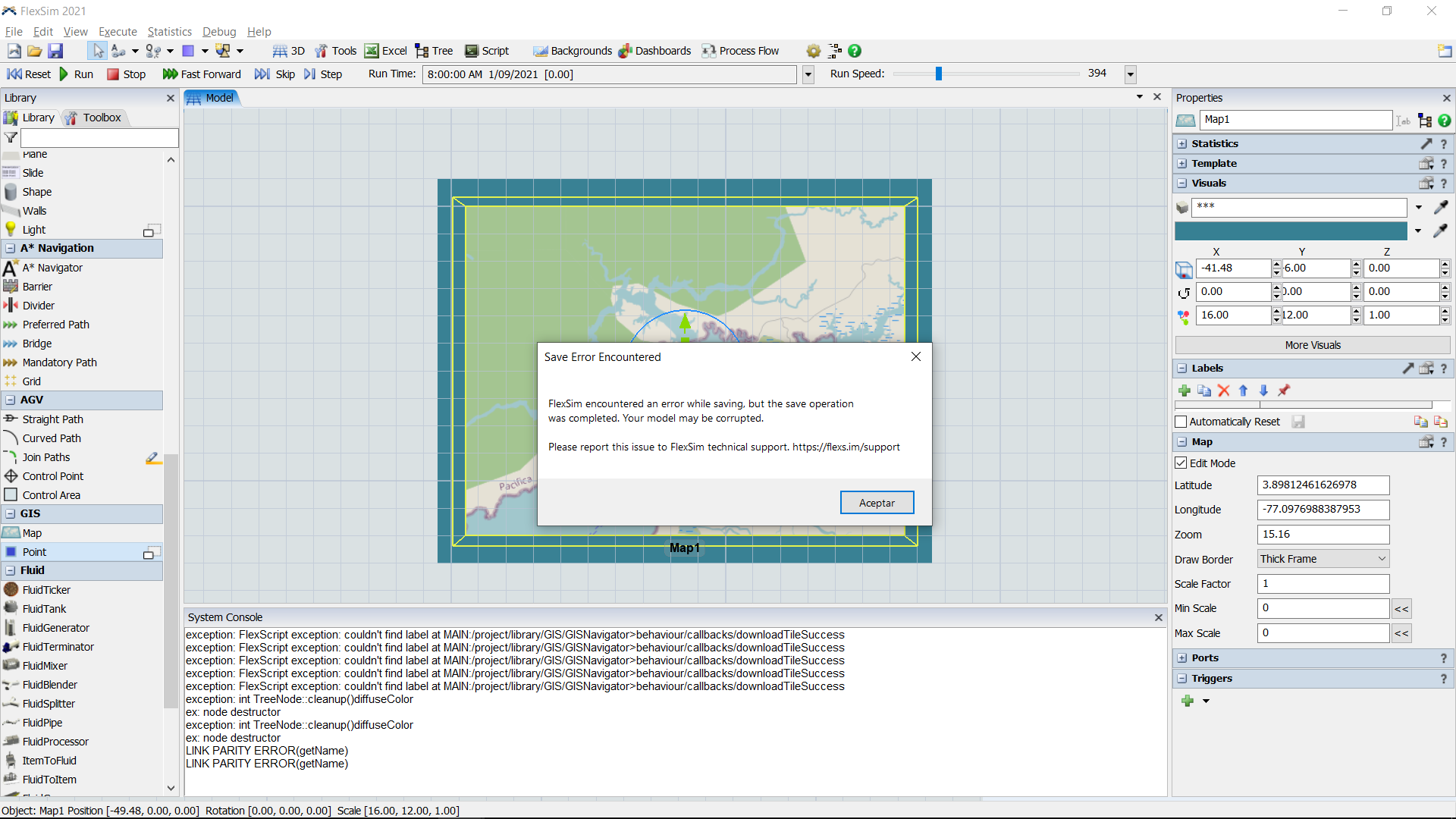
I've been having the same problem while working with maps, I guess it could be a bug. When I drop a map and try to zoom in and out looking for a specific location, sometimes an error is thrown.

I've been having the same problem while working with maps, I guess it could be a bug. When I drop a map and try to zoom in and out looking for a specific location, sometimes an error is thrown.

Are you using FlexSim 21.2.0?
The latest bugfix version 21.2.2 includes the following bugfix:
I'm using FlexSim 21.2.2 and still I'm having problems using GIS maps. I attached a .txt where I copied some errors from the console.
I've just had again the same issue working with GIS maps. I attached a screenshot.

I haven't been able to duplicate the error, but I added some more error handling code to handle the situation shown in the error messages you posted. The updated code will release in FlexSim 21.2.3.
If you want to test the updated code to see if it helps right now, you can replace the following nodes' text after loading FlexSim, build all FlexScript, and then try zooming in and out to see if the error goes away.
MAIN:/project/library/GIS/GISNavigator>behaviour/callbacks/downloadTileSuccess
Http.Response response = param(1);
treenode navigator = response.navigator?;
string tileFileName = response.tileFileName?;

if (tileFileName.length > 0)
    response.saveToFile(tileFileName);

if (navigator)
    function_s(navigator, "setMapsDirty", GIS_DIRTY_TILES);
MAIN:/project/library/GIS/GISNavigator>behaviour/callbacks/downloadRouteSuccess
Http.Response response = param(1);
treenode navigator = response.navigator?;
string url = response.url?;
treenode routeNode = response.routeNode?;
treenode pathNode = response.pathNode?;

if (navigator) {
    treenode responseNode = function_s(navigator, "storeWebResponse", url, response.value);
    function_s(navigator, "applyResponseToRoute", responseNode, routeNode, pathNode);
}
The primary change is the addition of the ? in the dynamic property access, which should safely return 0 instead of throwing an exception if something caused those dynamic properties to not work correctly. The if() statements then quietly ignore the message if the properties returned 0.
Thank you Phil, I wanted to attach one of the .fsm with errors but they always crashed. However I got one that create a .txt as well. I attached them.
GIS_PotentialBug.fsm_FailedNodes.txt
Hope they helps!
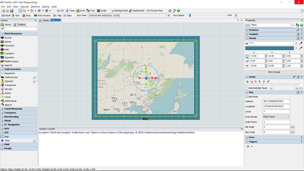
I'm still having troubles working with maps. The majority of the errors I have happens when I manipulate latitude and longitude of the map or when I zoom in or out. The last one was this that so far is the first time.

I guess the picture doesn't show the error properly so I write it here:
Exception:FlexScript exception: Invalid down cast. Object is not an instance of the target type. At VIEW:/nodefunctions/windowdocking/createdockedview
Share your great idea, or help out by voting for other people's ideas.
FlexSim can help you understand and improve any system or process. Transform your existing data into accurate predictions.
FlexSim is a fully 3D simulation software environment. FlexSim can be used to simulate any process in any industry.
FlexSim®, FlexSim Healthcare™, Problem Solved.®, the FlexSim logo, the FlexSim X-mark, and the FlexSim Healthcare logo with stylized Caduceus mark are trademarks of FlexSim Software Products, Inc. All rights reserved.
Privacy | Do not sell or share my personal information | Cookie preferences | Report noncompliance | Terms of use | Legal | © Autodesk Inc. All rights reserved