Idea

Ryusuke T avatar image
1 Like"
Ryusuke T suggested

Detecting when a point is reached in a GIS

I have placed points as waypoints in GIS. I want to detect when this waypoint has been reached.

In Japan, truck drivers are required to take a 30-minute break for every 4 hours of driving.

I thought it would be good to be able to run a simulation that would trigger the driver to decide when to take a break, so I am posting this as an idea.

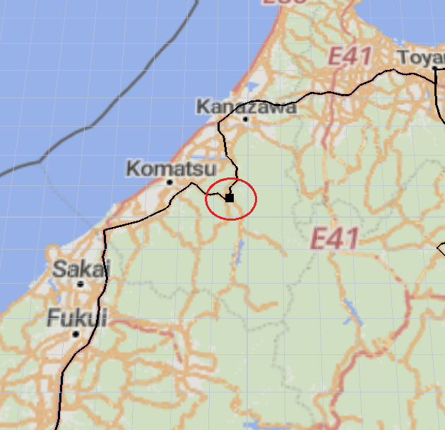
gis navigator
5 |100000

Up to 12 attachments (including images) can be used with a maximum of 23.8 MiB each and 47.7 MiB total.

No Comments

Your Opinion Counts

Share your great idea, or help out by voting for other people's ideas.

Related Ideas