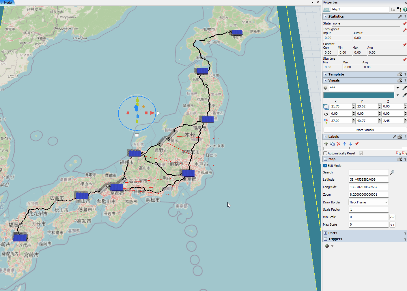
Attached is a simple example of using the GIS Module. It contains a GIS Map with 8 Cities represented as points connected by driving routes.
The model's Process Flow randomly generates tokens, which create items to be carried by trucks from one city to another. After a delay, the item is removed from the model.
This very simple example demonstrates how to use the GIS Module to model movement of items from sources to destinations without any FixedResource objects. All the logic can be done through Process Flow to control what happens in the model.

This model also demonstrates the Min Scale and Max Scale properties of a GIS Map object. By default, as you zoom the 3D view in and out, the 3D shapes on a GIS map scale so that they remain the same size on the screen, like abstract flat billboard images. When you zoom far out, because the items remain the same size, they seem really big relative to the map. Similarly, when you zoom far in, because the items remain the same size, they seem really small relative to the map.
The Map object has Min Scale and Max Scale properties to cap the scaling up and down of objects as you zoom in and out, so that they will only scale up to a certain size and only scale down to a certain size. This makes it so they scale within a certain range, but don't get too big or too small. If you set both of these values to a particular number, then they will not scale at all, but rather be that particular size.