question

Brian R avatar image
0 Likes"
Brian R asked Phil BoBo answered

Task executer's path record within a map (GIS)

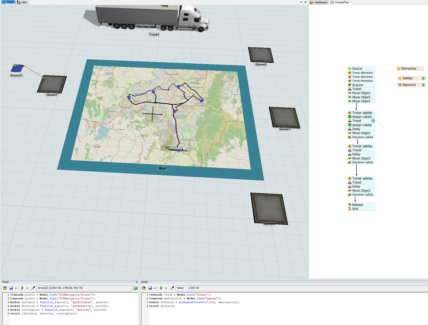
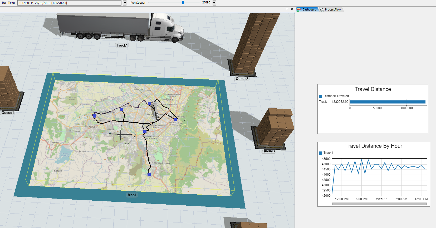
Hello, I want to know if there is any way to obtain the record that a task executer has within a GIS map, this in order to obtain the total cost of the use of a vehicle in several routes and even graph it.

I am attaching a test model where I have been working.

maps3.fsm

FlexSim 21.2.3
routingmapgismapintegration
maps3.fsm (345.6 KiB)
5 |100000

Up to 12 attachments (including images) can be used with a maximum of 23.8 MiB each and 47.7 MiB total.

1 Answer

·
Phil BoBo avatar image
0 Likes"
Phil BoBo answered

GIS Point objects have some function_s() commands that will calculate the distance, duration, or cost to get to another point:

treenode point1 = Model.find("GISNavigator/Point1");
treenode point2 = Model.find("GISNavigator/Point2");
double distance = function_s(point1, "getDistance", point2);
double duration = function_s(point1, "getDuration", point2);
double routingCost = function_s(point1, "getCost", point2);
return [distance, duration, routingCost];

You can also use the distancetotravel() command to get the distance from a task executer to a destination, such as from the truck to a queue:

treenode truck = Model.find("Truck1");
treenode destination = Model.find("Queue2");
double distance = distancetotravel(truck, destination);
return distance;

1635349114069.png

The task executer also automatically tracks its total travel distance, so you can simply add charts that graph that stat to a dashboard without any custom data collection:

1635349159221.png


1635349114069.png (860.3 KiB)
1635349159221.png (769.3 KiB)
5 |100000

Up to 12 attachments (including images) can be used with a maximum of 23.8 MiB each and 47.7 MiB total.

Write an Answer

Hint: Notify or tag a user in this post by typing @username.

Up to 12 attachments (including images) can be used with a maximum of 23.8 MiB each and 47.7 MiB total.