question

Ryusuke T avatar image
2 Likes"
Ryusuke T asked Ryusuke T commented

About zoom levels in GIS

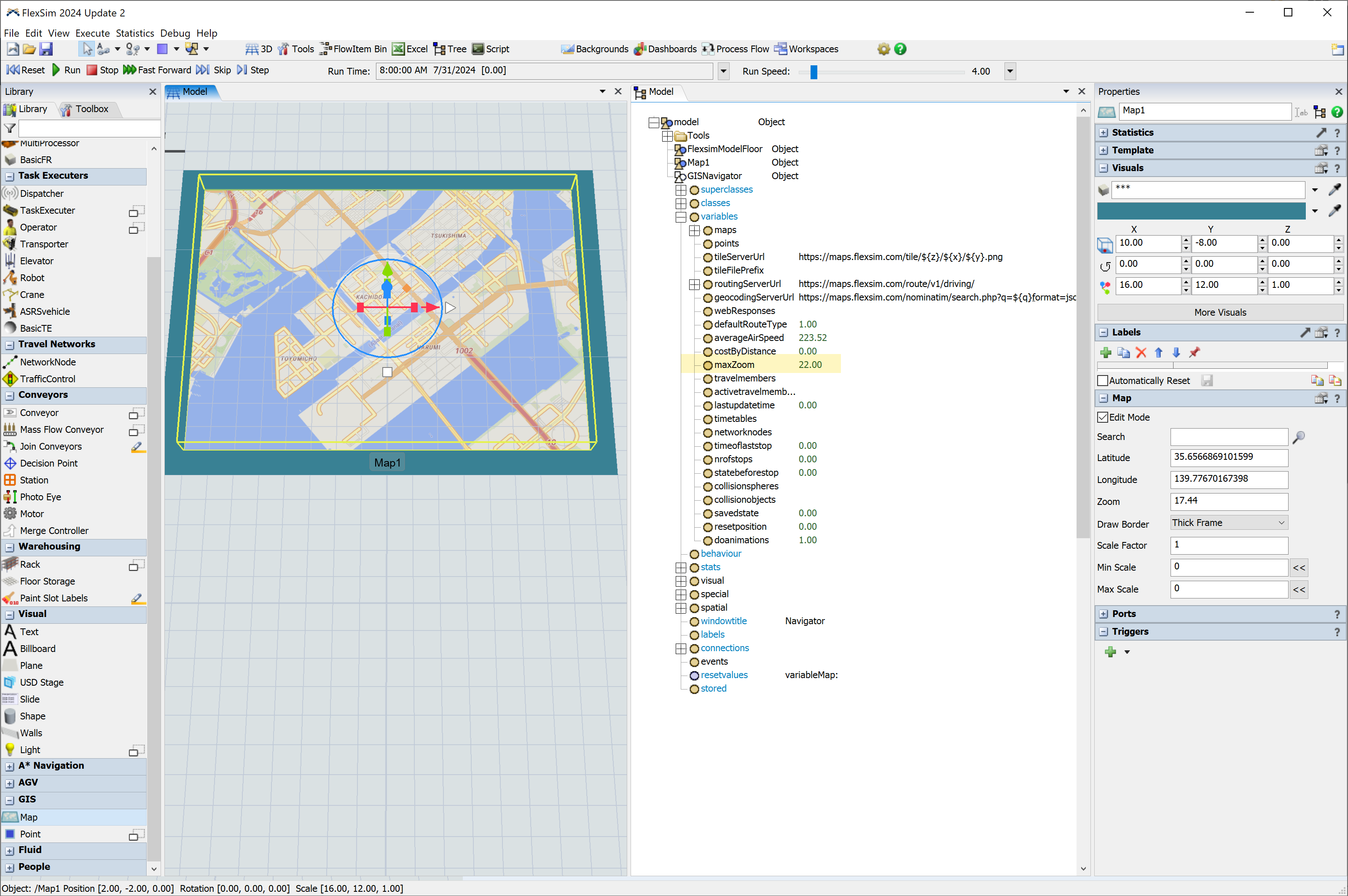
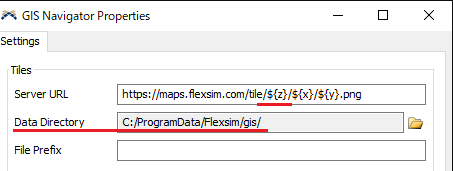
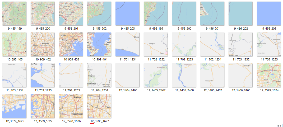
When updating map rendering, GIS generates the map in the data directory with the naming convention ${z}/${x}/${y}.png (in the standard case).

1722385112932.png

As far as I can see, the maximum z value is 12.

1722385135624.png

Is it possible to set this value to a value greater than 12?

I'm considering replacing my GIS map, and the one I'm replacing supports z values up to 22, so I'd like to apply that.

Could you give me some advice on how to obtain the x, y, and z parameter values here?

FlexSim 24.0.4
gis navigatorgis map
1722385112932.png (7.3 KiB)
1722385135624.png (308.6 KiB)
5 |100000

Up to 12 attachments (including images) can be used with a maximum of 23.8 MiB each and 47.7 MiB total.

1 Answer

Phil BoBo avatar image
0 Likes"
Phil BoBo answered Ryusuke T commented

Currently, the zoom limit is capped at 12 in the GIS Module.

When FlexSim 2024 Update 2 releases in the coming weeks, the GISNavigator will have a maxZoom variable, which you can modify in the tree to increase the limit above 12.

1722432268260.png


1722432268260.png (1.0 MiB)
· 1
5 |100000

Up to 12 attachments (including images) can be used with a maximum of 23.8 MiB each and 47.7 MiB total.

Ryusuke T avatar image Ryusuke T commented ·

Thank you for the information.

I will wait for the release of FlexSim 2024 Update 2.

0 Likes 0 ·